
01
Field prototypeStationary land
GHOST PRV
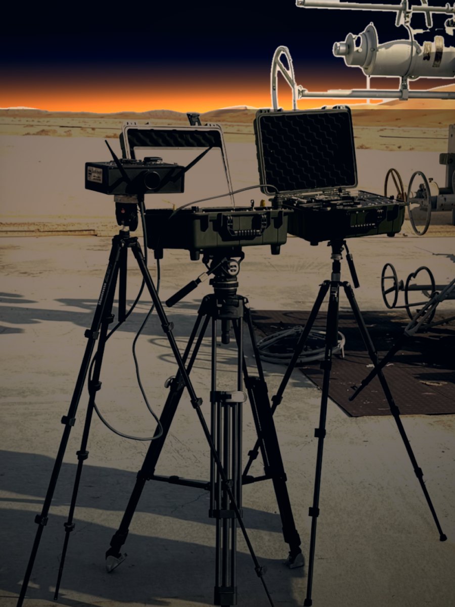
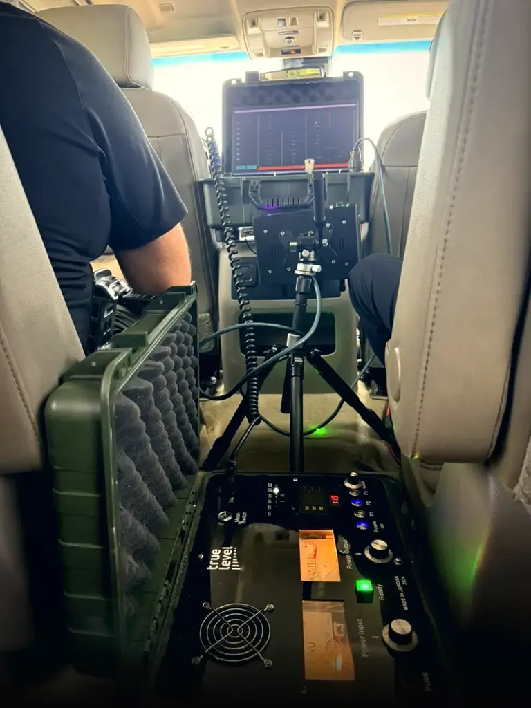
The tripod-mounted instrument used in the reported depth comparisons. A production version requires environmental qualification, repeatable manufacturing and defined service support.
Every material underground responds to energy in its own way. That response has always been there, lost in the noise. GHOST measures it from the surface, and AI explains it: what is there, how deep, and how sure we are.
Where should the next well go? Which prospect deserves further work? What evidence justifies the capital? truelevel brings a material-referenced assessment into these decisions, alongside geology, conventional geophysics and drilling. Our aim is to narrow uncertainty early enough to change the exploration plan.
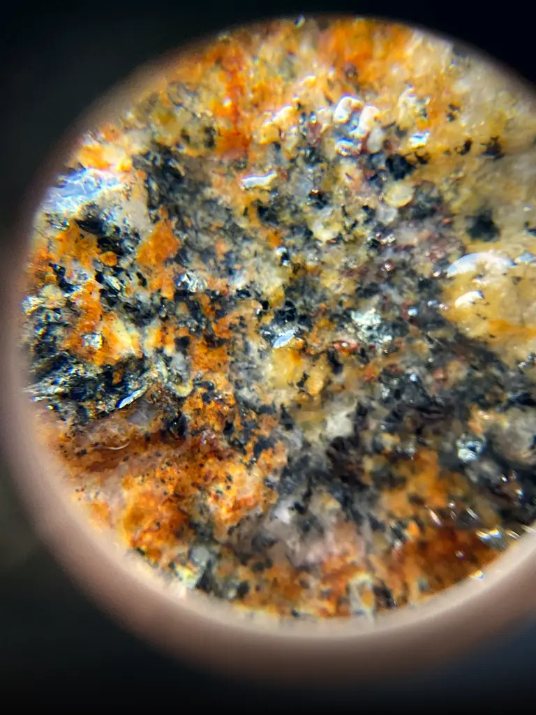
Before we go to the field, we test a real sample of the target, whether crude oil, groundwater or copper, in the lab. The instrument leaves with a fingerprint to look for.
On site, GHOST takes optical, electrical, magnetic and resonance readings in a single pass, from the surface down through depth.
Our AI checks every reading against the fingerprint, the local geology and the survey layout. It keeps only what the data supports, and says so when the data cannot decide.
Reports identify target assessments, depth estimates and uncertainty, with interval boundaries and extent where supported. In blind evaluations, predictions are locked before reference data is disclosed.
Scored positive depth calls within 10 m of operator-held references
One pre-drill study and two producing-well comparisons
Between the first study's prediction lock and wireline acquisition
Response clusters within tolerance when adjacent points are grouped
Two producing wells. The operator kept its well data to itself. GHOST placed 17 of 18 depth points within 10 m without seeing any of it.
Across the two wells, 17 of 18 scored positive depth calls met the operator's tolerance. Reference data was withheld from the survey team.
See the field recordtruelevel is an exploration company with its own technology. We use GHOST to find and rank targets, secure rights where the evidence justifies it, and build each project with operators and capital partners. We call these positions discovery units.
GHOST screens prospective areas and ranks the targets worth a closer look.
We take or partner into exploration rights where the evidence and terms justify it.
Detailed assessment, independent verification, a drilling plan and project economics.
Operators and capital partners join around a defined asset and work program.
We seek a continuing stake in each project under its own agreements.
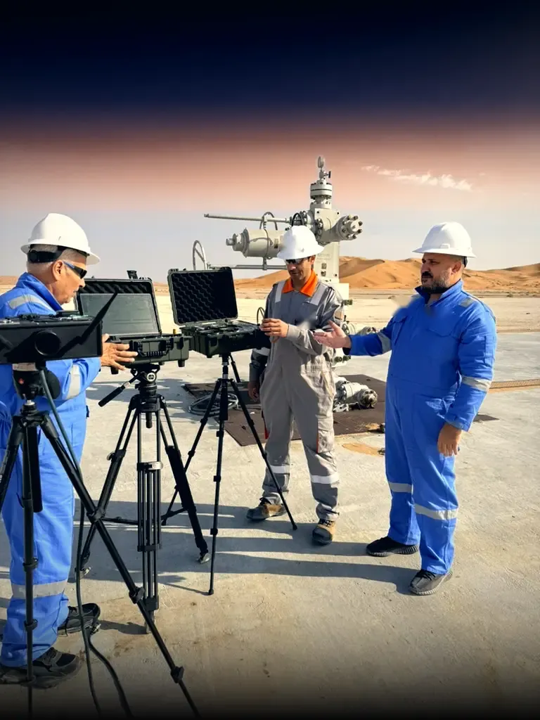
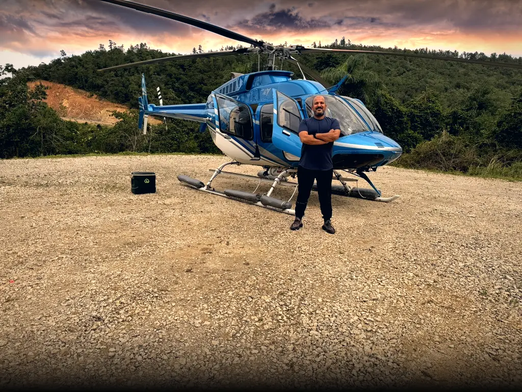
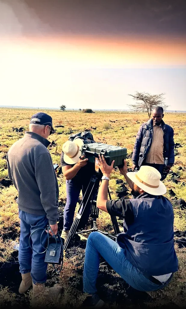
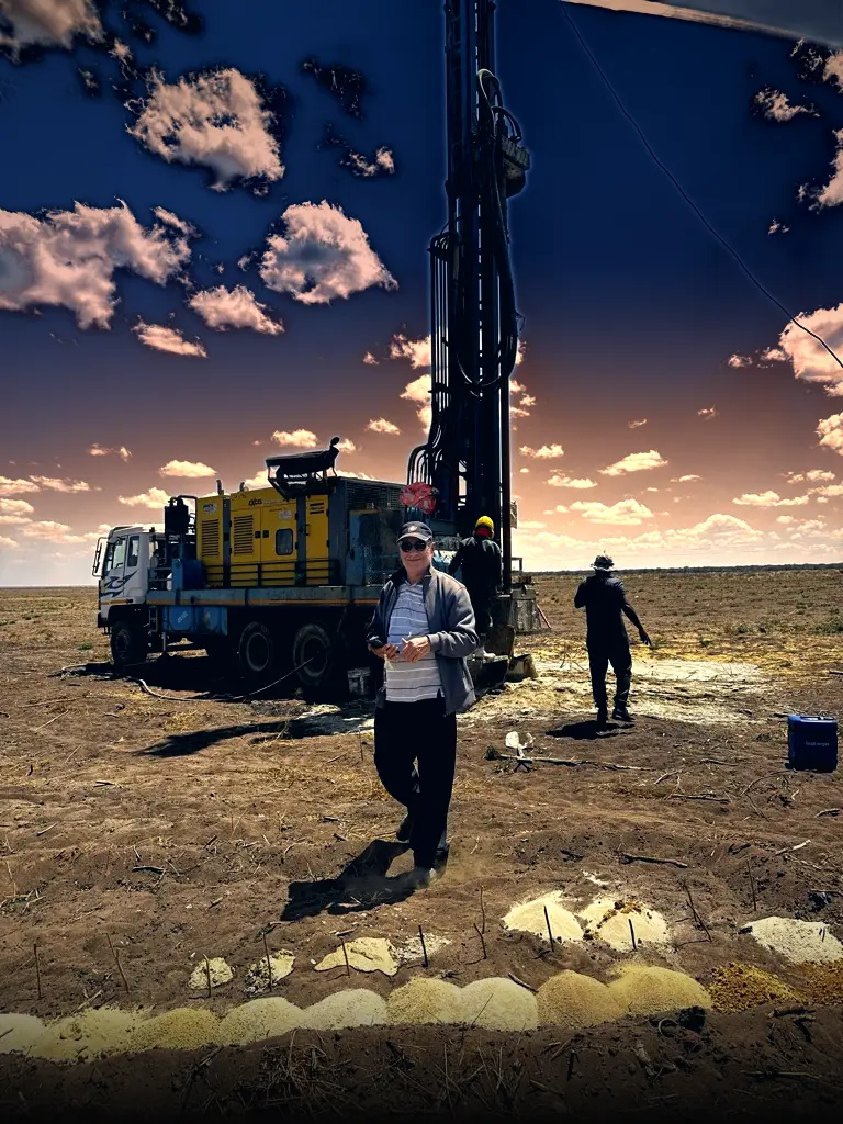
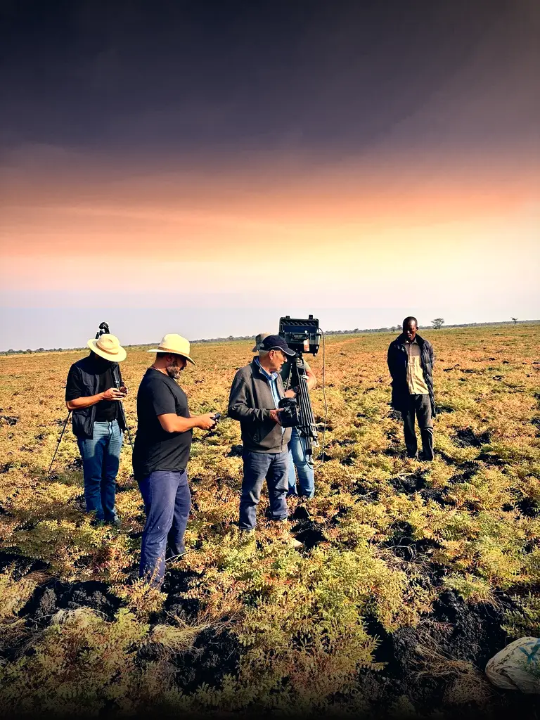
Desert wellsites, African savanna, Central American rainforest. One instrument and one small crew, wherever the question is.
Exploration usually starts by clearing the land. Conventional seismic cuts straight corridors through forest, then runs heavy vibrator trucks or explosive charges along them. In cold northern forests, those lines can take up to 70 years to grow back. And roughly two in three wildcat wells still find nothing commercial.
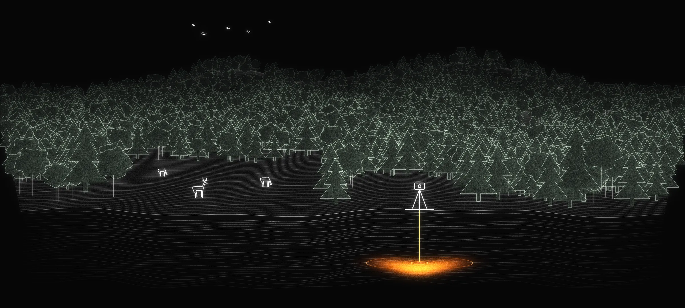 No clearing
Target
Wildlife stays
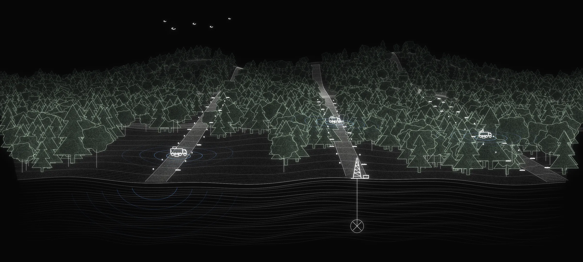 Cut line · ~10 m wide
Vibrator truck
Dry hole
Drag to compare. Illustration, not to scale.
Typical width of a conventional seismic line through forest
Up to this long for a line to regrow in cold boreal forest
Wildcat wells that find nothing commercial
Of cut line in a GHOST survey
Sources: Pinzon et al., Ecological Applications, 2021 · Canadian Press field study, northwestern Alberta, 2014 · Westwood Global Energy via Offshore Technology, 2020
GHOST is our survey platform, built on a method called Photo-Electric Resonance Vibrometry (PRV). At every point and every depth, a survey asks one question.
“Is the material we are looking for actually here, at this depth, given everything we measured?”
/ The field question
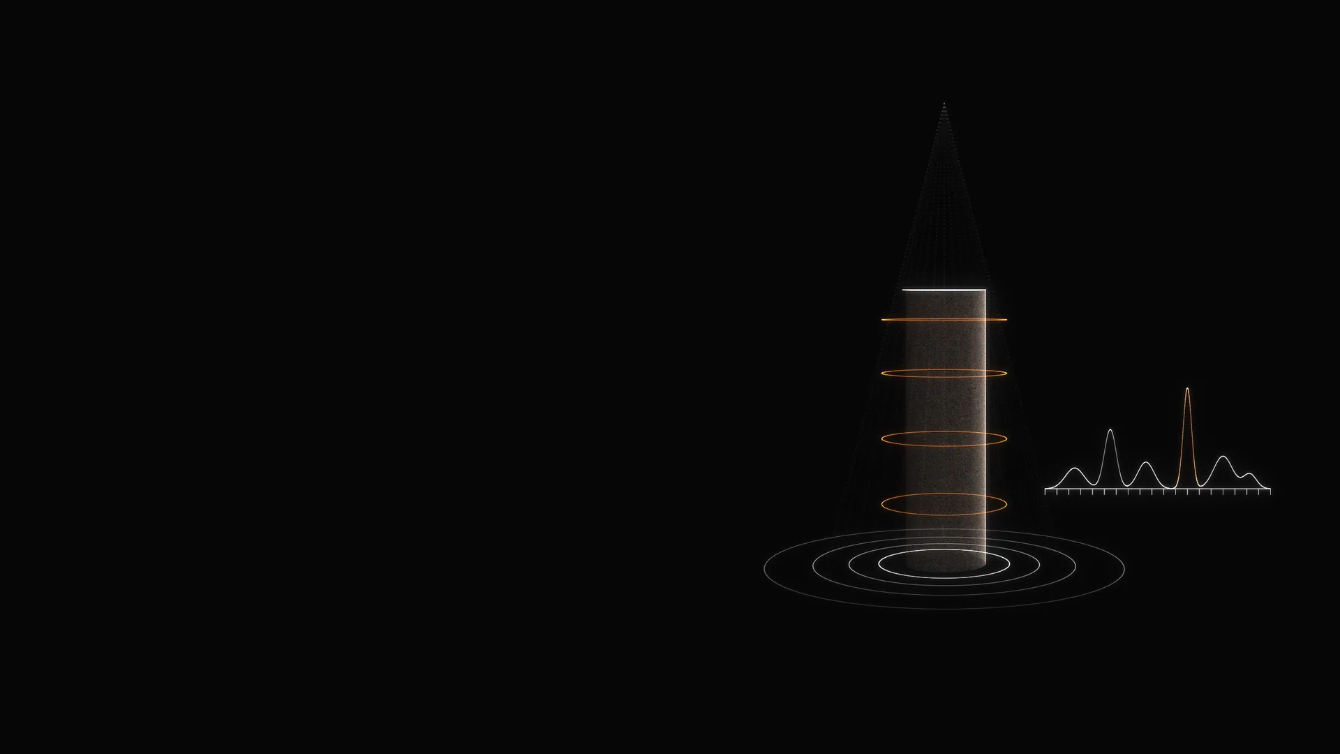
We start in the lab with a physical sample of the target. We record how it behaves under controlled conditions, so we know its signature before we go looking for it.
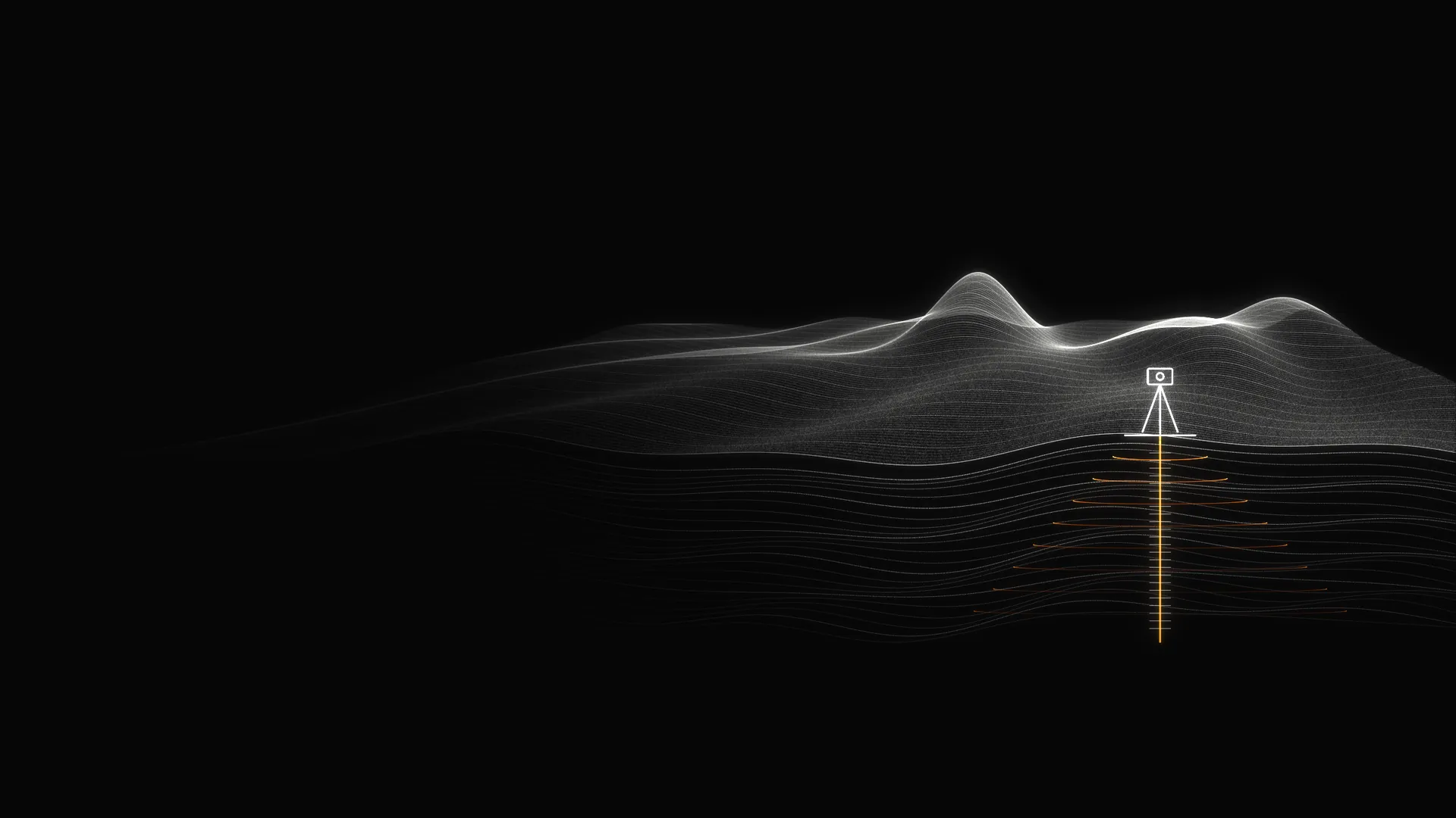
In the field, GHOST reads a single surface point all the way down, accounting for local conditions.
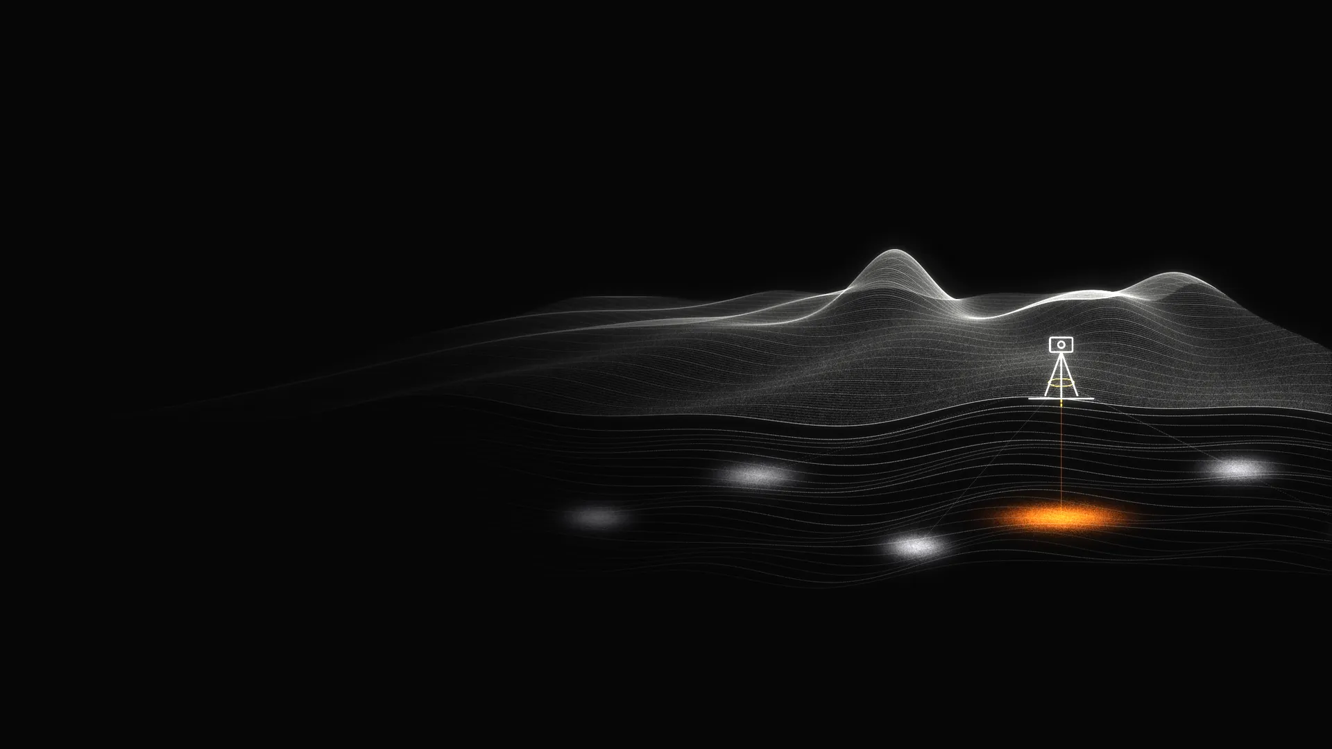
The observations are assessed against the reference, local geology and survey geometry. AI assists the analysis and technical review; designated technical leadership approves issued results.
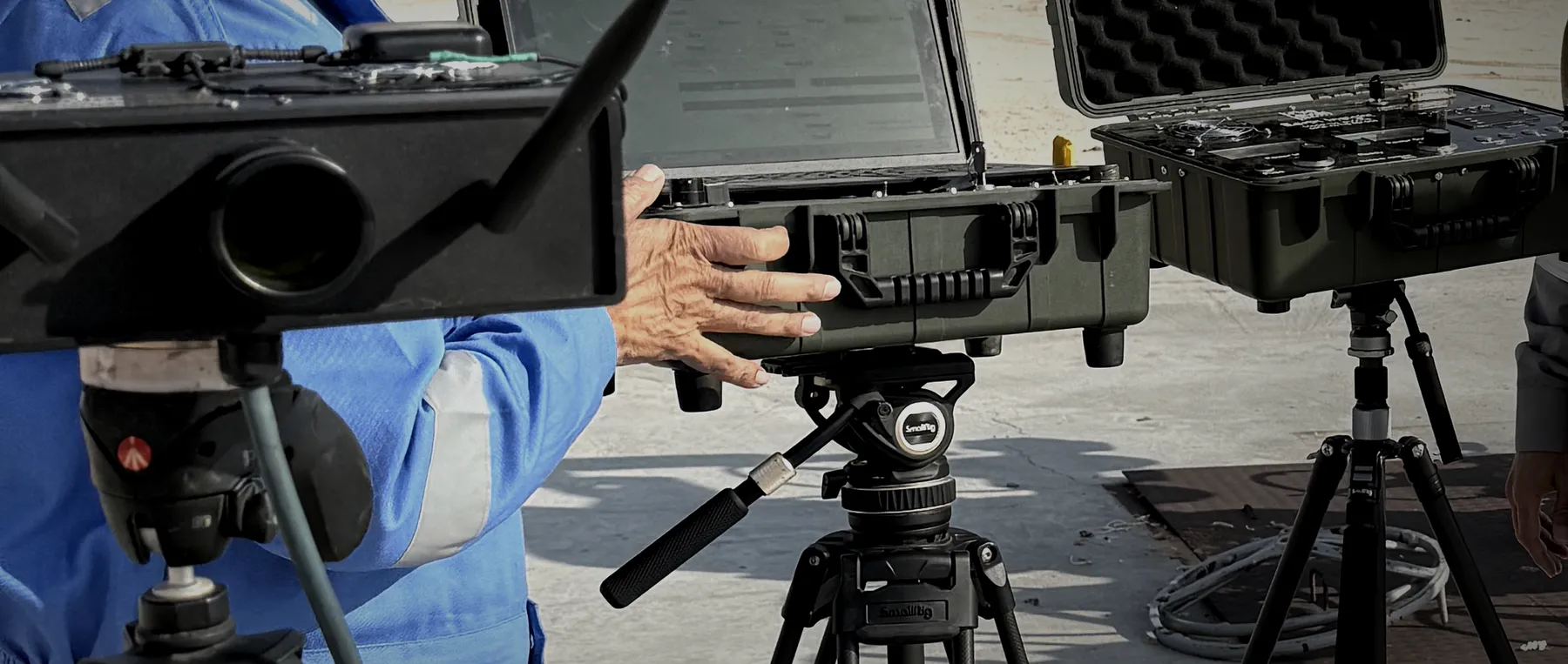
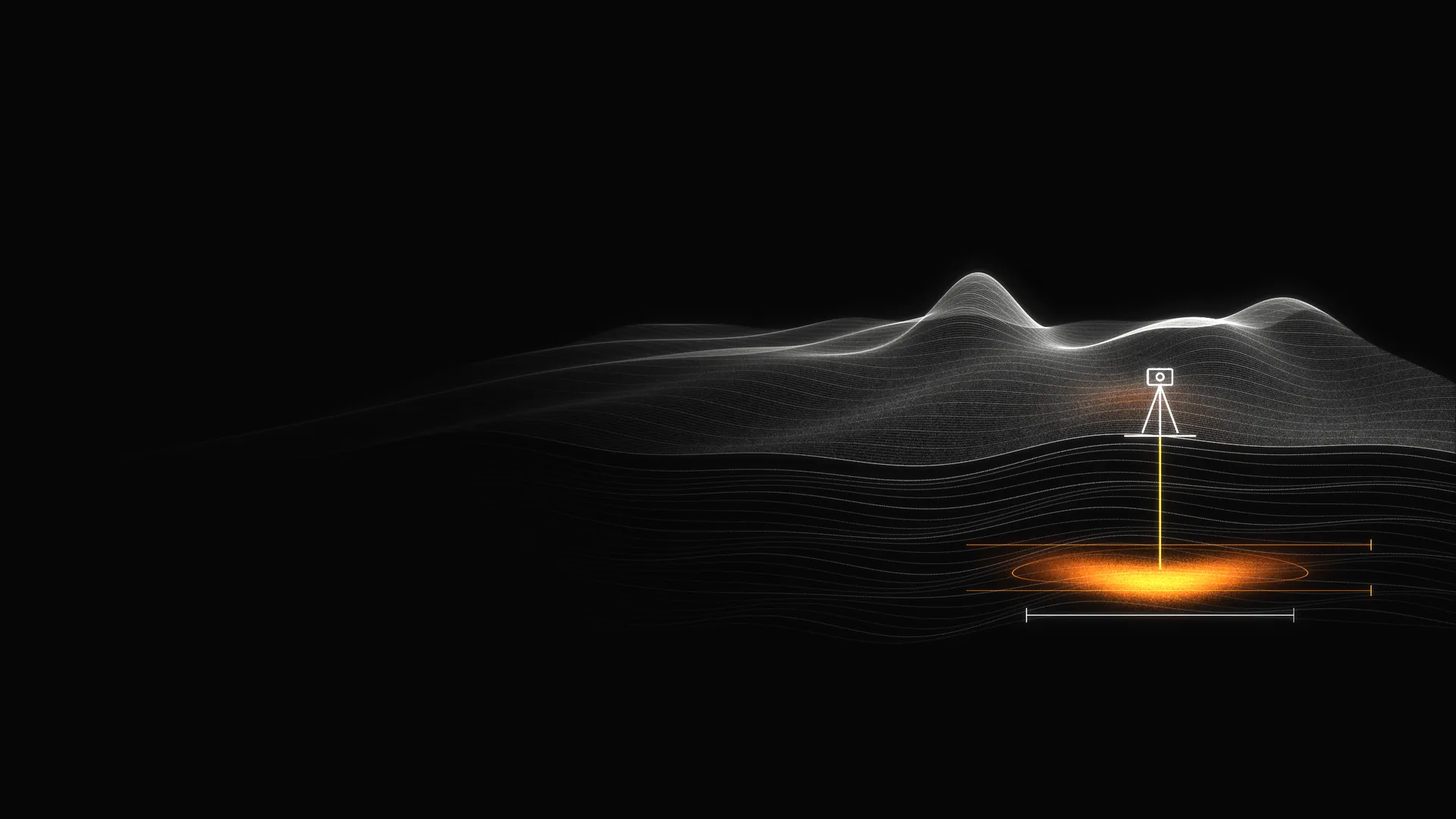
The data points to the target, within its stated uncertainty.
The observations do not support the target within the survey's stated sensitivity and scope. This does not establish absence beyond those limits.
The data cannot tell either way.
We never fold these into a simple yes or no. An inconclusive result is never counted as a correct negative.
Pick any point on the ground. GHOST reads it through depth, compares the readings with the target’s signature, and returns one of three answers. A target is hidden somewhere below.
Illustrative simulation. It does not use field data or demonstrate instrument performance, detection probability or spatial resolution.
Knowing the target narrows the question. It does not make every matching signal unique.
A supported target assessment does not establish recoverable volume, productivity, ore grade or commercial viability. Those require additional evidence.
Depth accuracy, telling materials apart, and spatial detail are three separate abilities. We test each one on its own.
Our calibration methods, instrument design and AI models are trade secrets, and we do not publish them. Instead we prove performance the way any measurement should be proven: our predictions are locked first, then compared with reference data held by the operator.
Conventional seismic clears corridors through forest to answer the question below it. GHOST answers it from the sky, without touching the ground.
No clearing
Target
Wildlife stays
Cut line · ~10 m wide
Vibrator truck
Dry hole
Drag to compare. Illustration, not to scale.
The reported blind depth record comes from one hand-built GHOST instrument. Our roadmap proposes a production sensor core and platforms for stationary, walking, vehicle, autonomous, airborne and marine acquisition. Each platform must demonstrate performance in its intended operating conditions.
The tripod-mounted instrument used in the reported depth comparisons. A production version requires environmental qualification, repeatable manufacturing and defined service support.
A proposed portable platform for terrain beyond vehicle access, with moving acquisition subject to qualification.
A proposed vehicle platform for survey grids, with motion and vibration effects evaluated before results are compared with stationary acquisition.
A proposed unmanned platform for repeatable grid coverage in remote or restricted-access areas.
A proposed purpose-built airborne platform for reconnaissance over large or difficult-to-access areas. Platform qualification is separate from earlier airborne field deployments.
A proposed vessel-based platform requiring marine integration, environmental qualification and field verification.
A proposed pressure-qualified subsea platform requiring dedicated engineering, testing and certification.
A proposed fixed station for repeated observations at one site. Applications and change-detection performance remain to be established.
Concept models illustrate proposed platforms. They do not represent completed or qualified production units. Hover to rotate.
Current evidence comes from the GHOST PRV field prototype. The production fleet remains a development program; marine and autonomous capabilities have not been demonstrated. Sentinel is an additional concept outside the seven-platform roadmap.
One measurement engine, tuned to each material. Each division answers the one question that decides whether to drill, pump or mine.
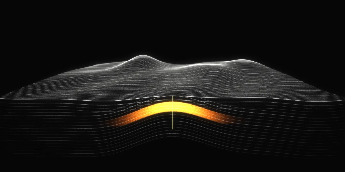
Assess hydrocarbon targets and estimate depth before committing to the next well. Integrate GHOST findings with seismic, geology and reservoir analysis to prioritize follow-up. The current scored record addresses hydrocarbon depth agreement.
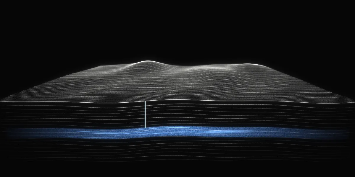
Assess potential water-bearing formations and prioritize borehole locations. Interpret depth and extent where supported; confirm water chemistry, yield and suitability through drilling, sampling and testing.
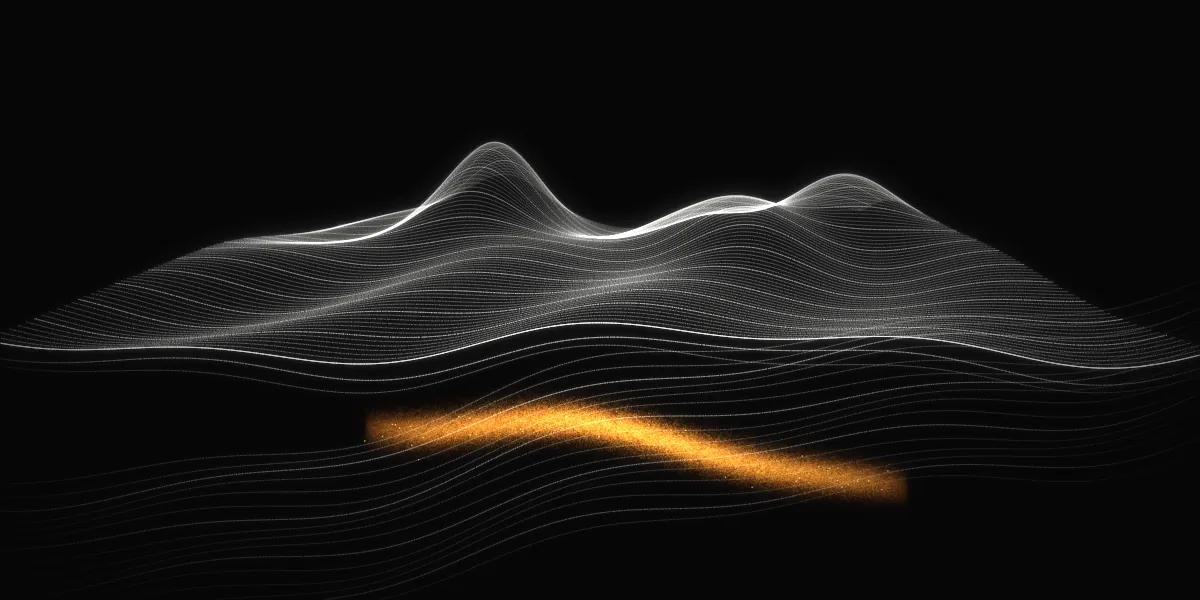
Assess calibrated mineral targets and focus geological follow-up and drilling. Current applications include copper sulfide systems and lithium brines, with other material classes under reference development. Mineral performance requires its own validation.
Hydrocarbon depth comparisons form the current scored evidence record. Mineral and groundwater programs apply the same assessment framework, but the hydrocarbon result does not establish their performance. Each additional target class requires reference characterization and qualification under relevant field conditions.
Discuss reference development and an independently scored pilot for your target material.
Explore research and validationThree hydrocarbon wells across two countries provide the current scored depth record. One study recorded predictions before drilling. Two assessed producing wells while their reference data was withheld from the survey team. Here are the results, the protocol and the limits of what they establish.
Scored positive depth calls within 10 m of reference depths
Point-level depth concordance in the scored set
From Well Z prediction lock to wireline acquisition
Response clusters within tolerance after grouping adjacent points
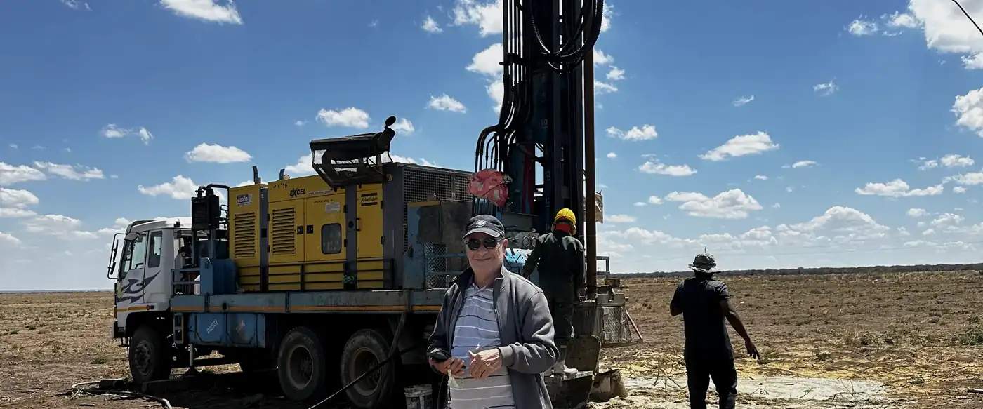
The operator selected the evaluation locations and retained the reference data. In Well Z, the survey preceded drilling; in Wells A and B, the wells were already producing.
GHOST predictions were recorded and locked before reference disclosure to the survey team.
The predictions were compared with operator-supplied wireline reference depths under the defined 10 m tolerance. Well Z also used petrophysical interpretation completed independently before the GHOST outputs were disclosed.
The case studies report comparable-set rules, point-level results and limitations. Repeat QC readings are excluded; adjacent depth calls are also summarized as response clusters.
Well Z predictions were locked 67 days before wireline acquisition. All three comparable interval tops agreed with the reference at the reported depth resolution. The post-drill interpretation was completed independently before the interpreter later joined truelevel.
Reference-blind comparisons at producing wells. Seventeen of eighteen scored positive depth calls fell within 10 m of the operator's reference. One call differed by 11 m.
Regional reconnaissance and pre-drill assessment in Belize, including geological and reservoir interpretation for regulatory reporting. Exploration-stage interpretations are separate from the scored well comparisons.
Hydrocarbon reconnaissance and mineral exploration activities in Tanzania. These programs are reported by project stage, separately from the scored hydrocarbon depth record.
Project positions at different stages of assessment, licensing and development. Survey interpretations and project interests do not establish a commercial discovery.
La Democracia
Dodoma · Manyoni · Kiteto
The pooled result describes depth agreement at 21 scored positive calls across three wells. It does not measure detection coverage, sensitivity or false positive rates. The scored set includes no negative locations or confounder tests. Mineral and groundwater performance cannot be inferred from it.
Several points are adjacent within continuous responses. Grouped into response clusters, the result is 11 of 12 within tolerance. The point-level Wilson interval does not account for that dependence and should not be read as a general performance guarantee. The single point-level failure had an 11 m error, one meter beyond tolerance.
Well Z was a pre-drill study; Wells A and B were reference-blind comparisons at producing wells. Well Z's independent interpreter subsequently joined truelevel. These are company-authored case studies using external reference data; larger studies across additional settings are needed to establish general performance.
truelevel develops GHOST and uses it to find, secure and advance its own exploration positions. Investors can take part in the company as a whole, or in a single project.
The GHOST technology and its field record, the platform roadmap, the team, and truelevel's interests across every exploration position.
One exploration position, structured in its own vehicle with its own rights, work program and partners. Terms are set project by project.
Stages are truelevel's own business labels, not a reserves or resource classification. No drilling results are reported for these positions.
20 of 21 scored depth calls within 10 m, across three hydrocarbon wells in two countries.
Predictions were locked before the operators' reference data was shared. The Field Evidence page sets out the protocol, the clustered result and the limits of what it establishes.
See the field evidenceMilestones are plans, not commitments. Timing depends on funding and partner decisions.
The business model, the field record and the data room are shared under NDA with qualified investors.
This page is for information only. It is not an offer to sell, or a solicitation of an offer to buy, any security or interest.
Our next work expands the hydrocarbon record and tests additional materials, settings and acquisition modes. Each program needs its own reference, endpoints and independent ground truth. Performance claims follow the evidence generated by that program.
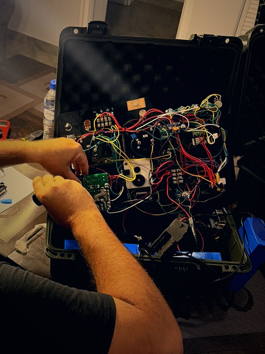
Every unit is built, wired and tuned by hand before it reaches the field.
Instrument development focuses on sensor integration, calibration stability, environmental resilience and repeatable manufacture. Bench testing and field verification provide the evidence required to move from a prototype toward qualified production hardware.
The same measurement that finds oil can watch the ground around a sensitive site. We are developing GHOST for perimeter and subsurface security at airports, seaports, borders and critical infrastructure: tunnels and voids, buried objects, and any change beneath the surface since the last pass.
Detection rates, location accuracy and false alarm rates must be established under site-specific test conditions before operational claims are made.
Perimeter fence lines, runways, taxiways and fuel farms. Tunnels or buried objects beneath the fence, and voids under pavement before they fail.
Quay walls, container yards, gates and pier foundations. Voids and scour behind quay walls, and buried or concealed items in yard areas.
Cross-border tunnels and buried caches along long, remote lines, surveyed by vehicle or from the air instead of fixed sensor grids.
Power plants, substations, refineries, pipelines and water plants. Excavation, tampering or leaks along buried lines, and ground change near critical assets.
Embassies, bases and secure facilities. A baseline survey at handover, then repeat passes to flag new excavation, tunneling or buried items.
Large fenced sites with buried power and fiber. Unrecorded voids, buried hazards and change along the perimeter.
Targets under study
Survey the full perimeter and inner zones once, to record what is normal beneath the ground.
Repeat passes at the same points, from a fixed station, a patrol vehicle or the air, on a schedule set by the site.
The AI compares each pass with the baseline and flags only the changes the data supports, with location and confidence.
A named analyst reviews every flag, and the site's security team decides the response. GHOST informs. People decide.
A useful test begins with the material, location and uncertainty the decision requires. The protocol must distinguish a supported assessment from an unresolved response.
Monitoring applications require a stable baseline and evidence that observed changes can be separated from environmental and measurement variation.
Research into the assessment of non-transmitting objects and their material characteristics. No validated performance record or operational capability is claimed.
Laboratory investigation of additional material classes and measurement applications. No clinical or diagnostic use, and no validated application performance is claimed.
Security work follows the same rule as our oil record. Results are locked before the answer is known, and you score them.
A two-person crew, two cases and a tripod, one standard vehicle. No digging, and no disruption to operations.
These programs are in development. Contact info@truelevel.com to discuss technical collaboration or a defined evaluation.
truelevel brings together expertise in sensing, geoscience, exploration operations, hardware and finance. AI supports structured analysis and review. Named leaders remain responsible for technical approval and commercial decisions.

Silicon Valley technologist turned repeat founder, with more than two decades building companies across technology, commerce and now subsurface exploration. Began his career in early stage Bay Area startups before working at Amazon, PayPal and eBay.
Founded MarkaVIP in 2010, which became the largest ecommerce platform in the Middle East and North Africa, raising over 100 million dollars and scaling past 1,000 employees before its acquisition in 2016. Founded truelevel in 2021 and has funded it personally through five years of stealth operation.
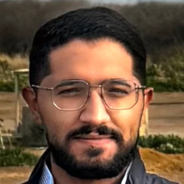
Inventor of Photo-Electric Resonance Vibrometry (PRV) and principal architect of the GHOST technology framework. Lead author of the GHOST scientific white paper and of truelevel's field validation studies, including the blind depth concordance case studies and the Belize carbonate reservoir assessments.
Developed the method behind truelevel's pooled blind record of 20 of 21 depth points within tolerance. Leads material reference characterization, interpretation methodology and the science program.
Holds final technical approval. No classification, interpretation or report leaves truelevel without his sign-off.

Moe brings nearly three decades of senior finance and operating experience in the energy retail sector, including the expansion of a major West Coast fuel and convenience business.
His experience includes acquisitions, syndicated financing and the financial systems needed to support growth. At truelevel, he leads financial planning and capital discipline.
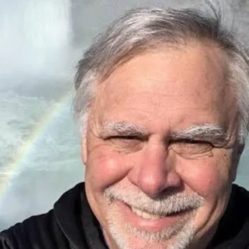
Petroleum engineer with more than 40 years of global experience in reservoir characterization, hydraulic fracturing and completion design. Recognized expert witness and published technical authority with leadership roles in SPE.
Performed the independent petrophysical interpretation on truelevel's first case study before joining the company.
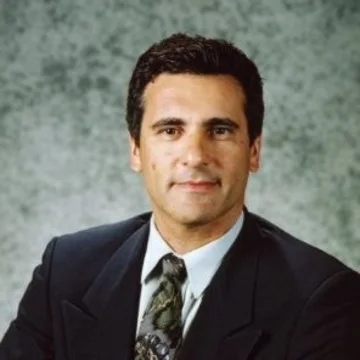
Forty-five years of exploration and production operations across more than twelve countries, from deepwater Gulf of Mexico and the Black Sea to Arctic frontier exploration on Sakhalin and unconventional completions in West Texas.
Turns a GHOST report into a decision on the rig: a drillable target, a revised casing design, a changed sequence, or a well not drilled.

Business development across the United States, the Middle East, East Africa and Latin America, focused on energy, infrastructure and emerging markets. Leads partner engagement with government authorities and national energy organizations, and builds the project economics behind licensing and partnership decisions.

RF and microwave engineer specializing in phased arrays, beamforming and high-frequency PCB design. PhD in Electrical Engineering (Antennas and Electromagnetics), COMSATS University Islamabad. Author of more than 28 international publications.
Leads RF and antenna design for the GHOST sensor and its mobile and airborne platforms, from simulation through anechoic-chamber testing.

Electronics engineer who takes hardware from schematic to field-ready unit. Master's degree in Electronics and Mechatronics Engineering, France. Led R&D, manufacturing and assembly of photobiomodulation devices in France, and ran a 12-person team building augmented reality wearables.
Owns the build, wiring and bench testing of GHOST units. Works in English, French and Arabic.
Our field systems and methods are trade secrets, so we share details selectively, with partners, regulators and qualified investors.
Exploration programs · Technical evaluation · Project investment · Research collaboration
Share your target material, project stage or area of interest. We will route your request to the appropriate technical or commercial lead.
Please keep your initial message non-confidential. We can arrange confidentiality terms before reviewing proprietary project information.
Last updated November 9, 2026. This policy explains what information truelevel.com collects and how truelevel uses it.
When you submit the briefing form, we receive your name, work email, organization, role and message, together with the date and time of the request and your IP address. We collect nothing else through the form.
We do not use analytics, advertising trackers or cookies. The site keeps one small setting in your browser's session storage so the opening animation plays only once per visit. It is deleted when you close the tab.
We use form submissions only to review and respond to your inquiry, to arrange a briefing, and to protect the form from abuse. We do not sell or rent your information, and we do not use it for advertising.
Requests are emailed to info@truelevel.com and stored in a file on our web hosting account that is not publicly accessible. Our web host and email provider process this information on our behalf.
To display the site, your browser loads fonts from Google Fonts and one script from the jsDelivr network. Those services receive your IP address and standard browser information when they deliver these files, under their own privacy policies.
We keep inquiries for as long as needed to respond and to manage any resulting relationship, and then delete them. You can ask us to delete your inquiry at any time.
You can ask to see, correct or delete the information you sent us by emailing info@truelevel.com. Depending on where you live, you may have additional rights under local law, and we will honor them.
truelevel · 1390 McCarthy Blvd · Milpitas, CA 95035 · info@truelevel.com